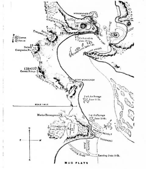
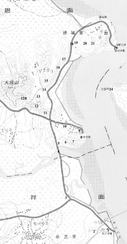
First map (Marine Corps Historical Center) is of the US 1871 line of march; second map shows the same positions today.
On the modern map, the distance from point 1 to point 2 is approximately 250 meters.
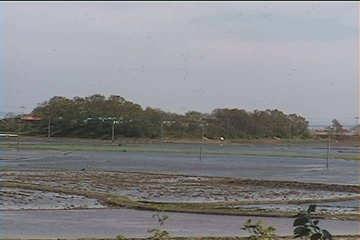
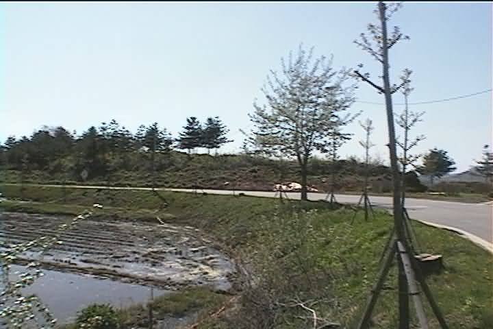
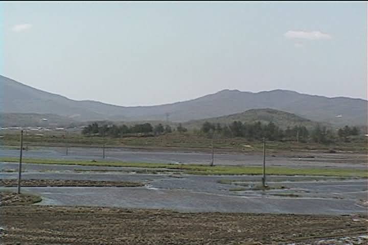
Please note that on the modern map, the area to the SW of Marine Redoubt (Choji)[point 1] is reclaimed land, where the mud flat used to be.
mp [side view])
Point 2a (Main Camp, as seen from Marine Camp)
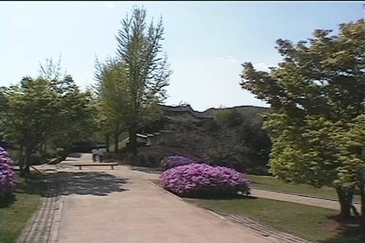
Point 2b (Inside Main Camp [playground])
Point 3 On top of Marine Camp hill (tombs)
Point 3a Marine Camp, as seen from road
Point 3b Marine Camp, as seen from Main Camp
Point 8 Dukjin Fortress (Ft. Monocacy)
Point 15 First artillery position
Point 17 Second artillery position
Point 20 Valley between west hill and citadel
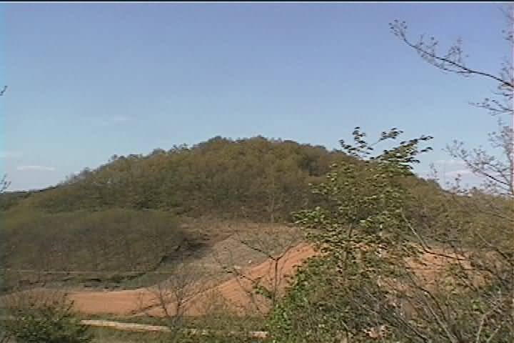
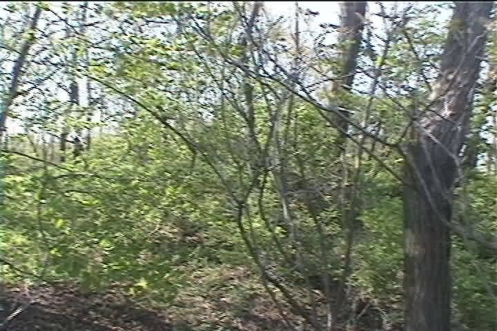
Chestnut grove on hill just below citadel
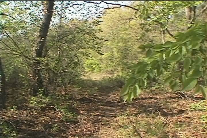
Looking up to citadel from trail next to chestnut grove
Annotations and original photos Copyright © 2001 Thomas Duvernay
![Point 2b (Inside Main Camp [playground])](./maincmp3.JPG)